In this guide
This article separates the output types and explains where RTK and multispectral payloads change the decision.
Mapping
A mapping drone produces more than a picture. It produces a georeferenced layer that can be measured, compared over time and used to plan an application.
Quick answer
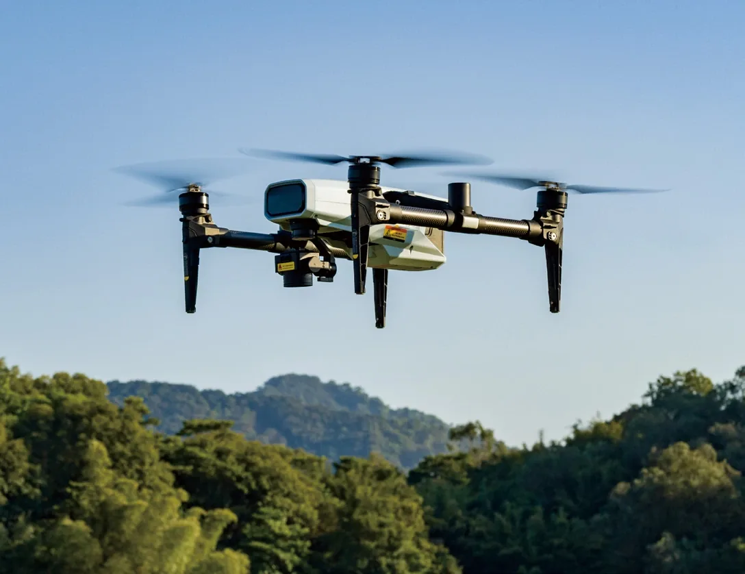
Mapping shows what is where; survey adds measurable accuracy. The remote sensing drone carries four switchable cameras and a RealTerra 3 payload with a 12 MP sensor and 2.7 mm lens; RTK guidance holds ±10 cm. NDVI finds zones, not diagnoses, so match the payload to how often you map.
In this guide
This article separates the output types and explains where RTK and multispectral payloads change the decision.
Basics
A map shows what is where. A survey adds accuracy control so positions and elevations can be measured to a stated accuracy. Many farm jobs need mapping; drainage and earthworks need survey-grade control.
| Output | What it answers |
|---|---|
| Orthomosaic | What the field looks like, georeferenced |
| DEM / DSM | Terrain and surface height |
| Point cloud | 3D surface and volumes |
| NDVI / NDRE | Crop vigour and stress zones |
| Prescription map | Where to apply a different rate |
RTK
RTK corrects satellite positioning to centimetre level. It reduces the need for ground control points, aligns repeat flights and keeps application equipment on the same line as the map.
The correction source can be a local base station, a CORS network or a PPP service. Confirm which source is available and supported in your country.
Multispectral
Multispectral cameras capture bands beyond visible light. The common output is NDVI or NDRE, which highlights vigour, stress and variability. It does not diagnose a specific disease by itself.
Use the index to find zones, then scout the zone. The image narrows the search; it does not replace the agronomist.
Workflow
Plan the flight with overlap and altitude for the output, confirm RTK fix, fly the grid, check image quality, process and validate. Archive the map with date, field and flight parameters.
Selection
The value of a map is the decision it supports.
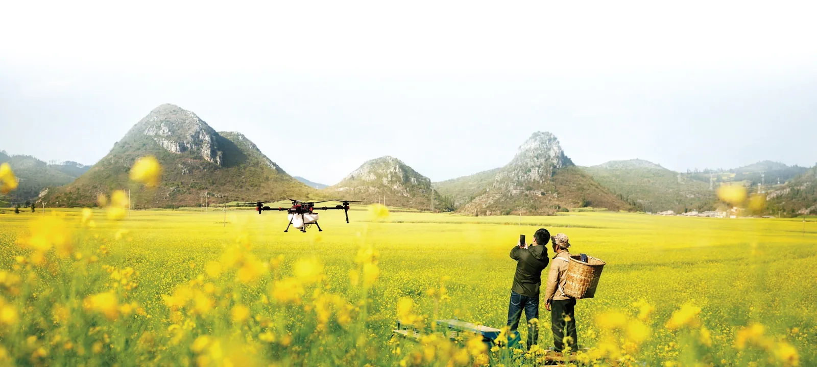
If you need occasional maps, a mapping module on the spray aircraft is efficient. If mapping is a weekly service, a dedicated survey aircraft with the right camera and endurance is easier to schedule.
Key takeaways
Related guides
RTK is often listed as a feature without explaining what it depends on. The correction source decides whether centimetre accuracy is available in your field.
SelectionMost agricultural drone comparisons start with payload. That is the wrong first question. The right first question is: which job do you need to repeat, on which blocks, with what support?
ApplicationA spraying drone listing usually leads with tank size and maximum flow. Those numbers matter, but they do not tell you how many hectares you will finish in a day.
Next step
Tell us the crop, area and output you need. We will propose a payload and processing workflow.