Mapping and survey
Mapping Drone & Survey Drone — RTK, Photogrammetry and Multispectral
Mapping and survey are often used interchangeably, but the deliverable is different. A map shows what is where; a survey measures position and elevation to a stated accuracy. Many agricultural jobs need both.
Quick answer
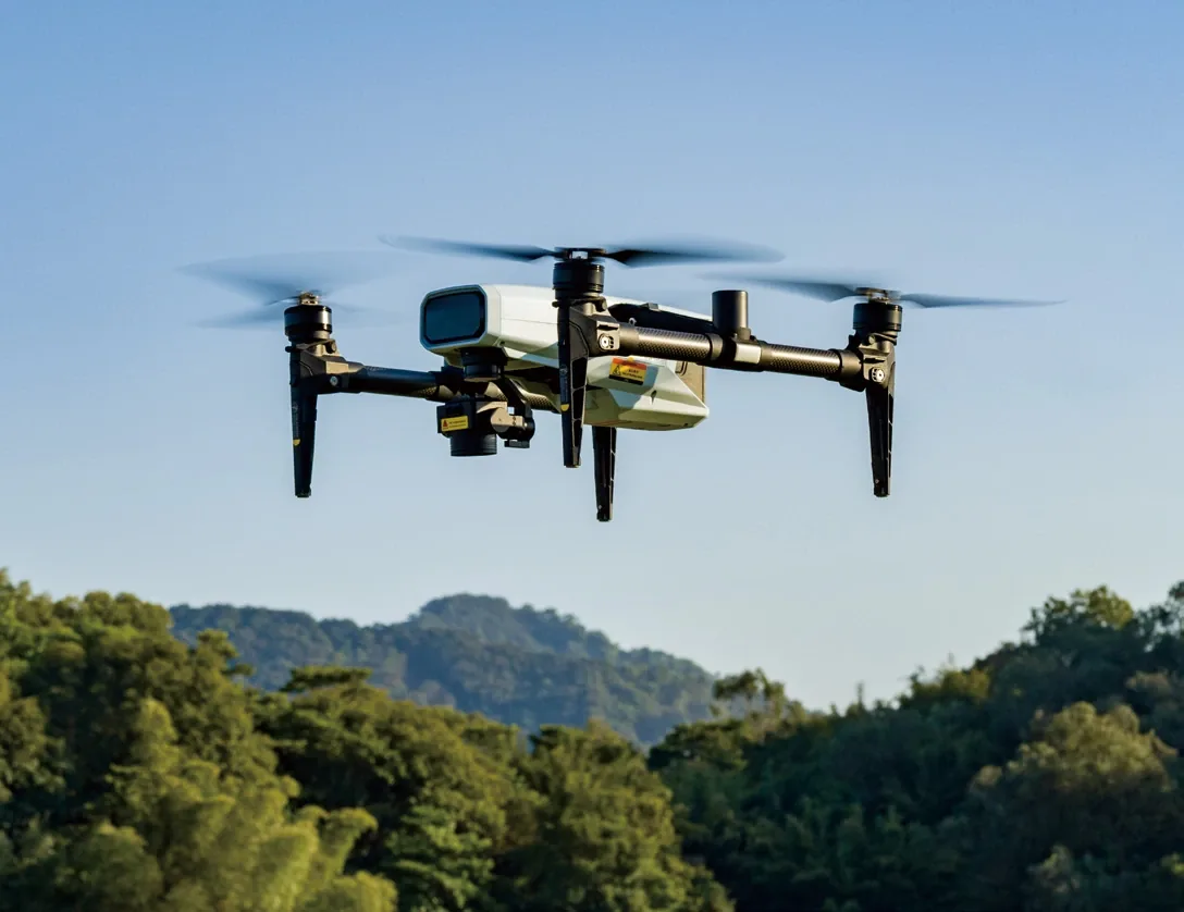
A mapping drone captures overlapping images and turns them into orthomosaics, elevation models and crop indices. Survey and mapping are covered on this page. XAG remote sensing and RealTerra 3 payloads use RTK to produce field maps for planning and application. The RealTerra 3 payload uses a 12 MP sensor with a 2.7 mm lens and maps up to 13.3 ha per flight; RTK guidance holds ±10 cm.
Overview
This page covers the payloads, RTK, outputs, processing workflow and the questions to ask before buying a mapping drone for farm work.
Specifications
System specifications
Remote sensing drone
- Cameras
- Four switchable cameras
- Output
- HD digital field maps
- Image stitching
- Real-time stitching
- Guidance
- RTK, centimetre-level autonomous flight
- Use
- Farmland survey and field mapping
RealTerra 3 payload
- Image sensor
- 12 MP
- Focal length
- 2.7 mm
- Mapping efficiency
- 13.3 ha per flight
- Platform
- XAG P150 task module
- Output
- Field map and 3D terrain
Accuracy and workflow
- Guidance
- RTK ±10 cm hovering precision (P150)
- Correction sources
- RTK base, CORS, PPP (APC2); confirm per market
- Processing
- Photogrammetry software, orthomosaic, DEM/DSM
- Indices
- NDVI/NDRE with multispectral payload
- Deliverable
- Georeferenced map and prescription layer
Supply
- Manufacturer
- XAG
- Supply model
- Authorized distributor
- Training
- Flight, processing and data workflow
- Support
- Technical support and spare parts
- Delivery and order size
- Tailored to your order
Definitions
Mapping or survey: what is the difference?
A mapping drone flies a planned grid, captures overlapping images and processes them into a georeferenced map. A survey drone adds accuracy control — RTK, ground control or both — so the output can be measured, not just viewed.
For agriculture, the practical output is a field map with boundaries, rows, obstacles, elevation and crop indices. The accuracy you need depends on whether you are planning a spray pass or designing drainage.
| Question | Mapping | Survey |
|---|---|---|
| Primary output | Orthomosaic, field map | Measured positions, elevation, volumes |
| Accuracy control | Visual and GNSS | RTK and/or ground control points |
| Typical use | Crop scouting, planning, records | Drainage, earthworks, boundaries |
| Processing | Photogrammetry software | Photogrammetry plus accuracy report |
Guidance
Why does RTK matter?
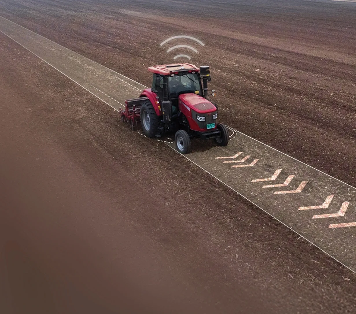
RTK keeps repeat flights aligned and application equipment on the same line as the map.
RTK corrects satellite positioning to centimetre level. For mapping, it reduces the need for ground control and makes repeat flights align. For application, it keeps the aircraft on the same line as the map.
The correction source can be a base station, a CORS network or a PPP service. Confirm which source is available and supported in your country before you buy.
Deliverables
What do you get?
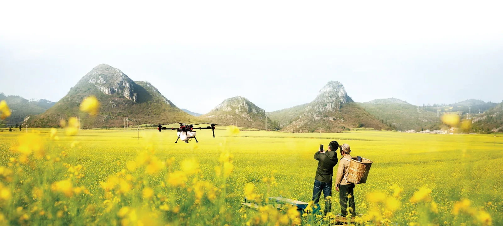
The deliverable is a decision layer: boundaries, elevation, vigour and prescription zones.
- Orthomosaic: a single georeferenced image of the field.
- Digital elevation model (DEM/DSM): terrain and surface height.
- Crop indices: NDVI/NDRE for vigour and stress where a multispectral camera is used.
- Point cloud: dense 3D data for volumes and surface inspection.
- Prescription map: a zone map for variable-rate application.
- Field boundary and obstacle map: the base layer for spray routes.
Workflow
How does the workflow run?
Plan the flight with overlap and altitude appropriate to the output. Fly the grid, check image quality, then process. Export the map into the Farm App or your management software and use it to plan the next operation.
- Set ground sample distance and overlap for the output.
- Confirm RTK fix and battery before take-off.
- Check for blur, shadows and gaps after landing.
- Process, georeference and validate against known points.
- Archive the map with date, field and flight parameters.
Farm use
What does mapping change on a farm?
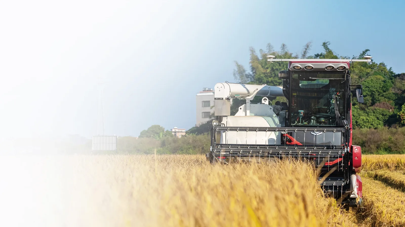
Mapping provides the base layer; application equipment executes the plan.
A map turns a field from a single block into zones. That supports variable-rate application, drainage planning, stand counts and a record of what changed between flights.
The value is not the image. It is the decision the image supports — fewer overlaps, better placement of inputs, or a faster response to a problem area.
FAQ
Questions buyers ask
What is a mapping drone?
A mapping drone captures overlapping images on a planned grid and processes them into a georeferenced map, such as an orthomosaic or elevation model.
Mapping drone vs survey drone — what is the difference?
A mapping drone shows what is where. A survey drone adds accuracy control (RTK or ground control) so positions and elevations can be measured to a stated accuracy. We cover both on this page.
What is RTK and why does it matter?
RTK corrects satellite positioning to centimetre level. It reduces ground control, aligns repeat flights and keeps application equipment on the same line as the map.
What is a multispectral drone used for?
A multispectral drone captures bands beyond visible light to calculate crop indices such as NDVI and NDRE. These show vigour, stress and variability for scouting and prescription maps.
What is NDVI used for?
NDVI compares near-infrared and red reflectance to indicate vegetation vigour. It is used to find variability, stress and bare patches, not to diagnose a specific disease.
How accurate is drone mapping?
Accuracy depends on RTK, ground control, flight height, overlap and processing. With RTK and good practice, centimetre to low-decimetre relative accuracy is achievable; the exact figure must be verified on site.
Do I need a mapping drone if I already have a spraying drone?
Not necessarily. The P150 can carry a mapping payload, so the same aircraft can map and spray. A dedicated remote sensing drone may be better if you map frequently or need different cameras.
What software do I need?
You need photogrammetry software to process images into an orthomosaic and elevation model, plus a workflow to export prescription maps to the application equipment. The exact software is selected with your configuration.
Next step
Map the field before the season.
Tell us the crop, area, output you need and country. We will propose a mapping payload and processing workflow.